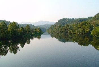
Seasonal variation in vegetation coverage is potentially important for local flood risk, and remotely sensed information can provide river scientists with new insights to support the management of highly anthropized watercourses.
See : Boothroyd, RJ., Nones, M. and Guerrero, M. (2021). Deriving planform morphology and vegetation coverage from remote sensing to support river management applications. Frontiers in Environmental Science. 9: 657354. https://doi.org/10.3389/fenvs.2021.657354