The COST Action CONVERGES organised a Training course on using Satellite Images for floodplain monitoring using Google Earth Engine.
Date 11th and 12th of February 2021.
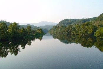
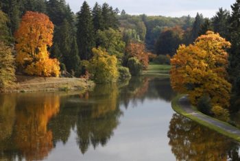
Monitoring the current status of floodplain vegetation and changes therein over time can be challenging and costly due to the vast extend of floodplains in many larger river systems. Satellite images give near real time information on the status of the dominant vegetation classes within the floodplains and allow for long term time series analysis.
The aim of this course was to give a first introduction to the use of Google Earth Engine for the monitoring of floodplain vegetation and analyzing changes over time.
Please find the program here : COST-Converges – Training course Google Earth Engine.